DocGettingStarted - Maproom/qmapshack GitHub Wiki
Prev (Create Offline Documentation) | Home | Manual | Index | (Commandline parameters) Next
Table of contents
Getting started
This is what you get on the first start-up.
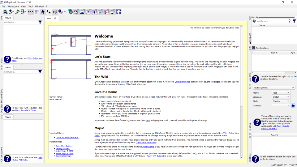
All windows around the map workspace are docking windows. In other words you can move and re-group them as you like.
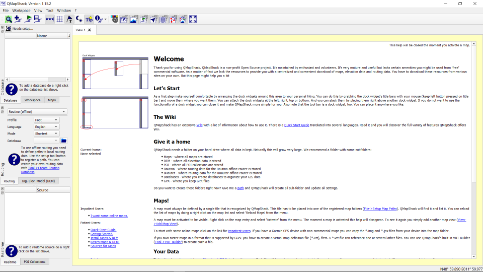
On first start-up you will see an empty workspace and empty lists for maps and elevation data.
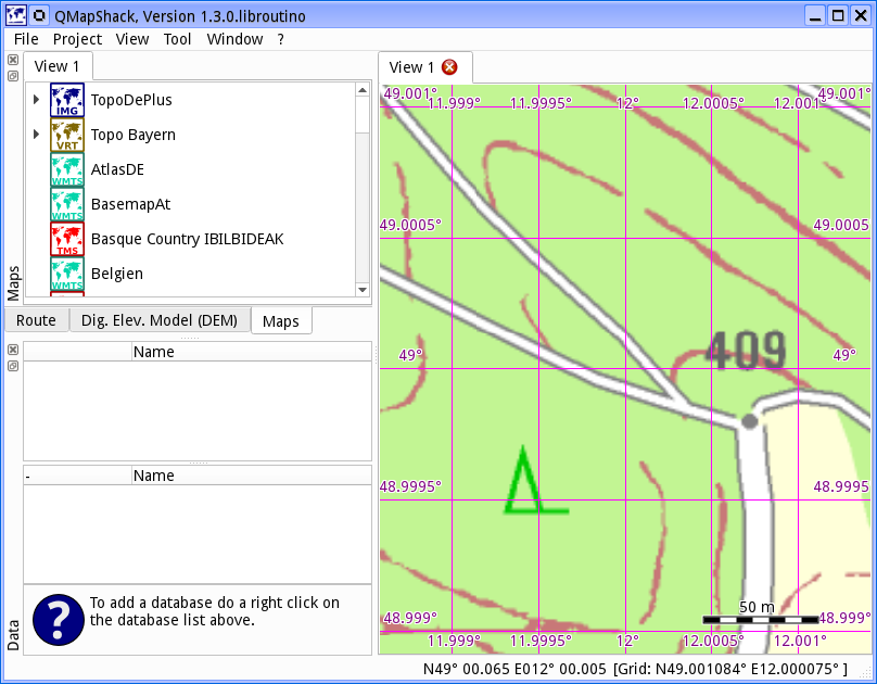
Add maps
For the impatient ones: There is big button to install a few online map.
For the more lettered ones: You do not add a map file directly to QMapShack. You add the path containing one or more files. There can be several paths containing maps. To add a path you select File->Setup Map Paths
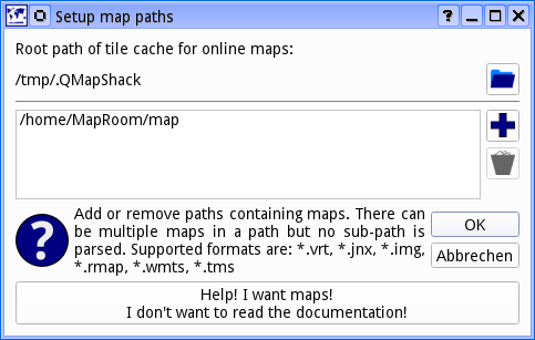
Use the "+" button to add a new path. To remove paths you select one or more and pres the trashcan button. If you leave the dialog with Ok the map list will be updated:
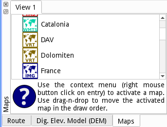
However the right hand canvas is still empty. To actually display a map you have to activate it by a right-click on the entry in the list and selecting Activate. You can activate several maps at a time. And you can use drag-n-drop to move the activated maps in the list. The top most map is drawn first. The one at the bottom of the active list is drawn last.
Type some string in the edit field at the top of the maps tab to reduce the list of available maps to those matching the given string. A click on the cross at the right edge of the edit field clears the filter.

To move the viewport use the left mouse button in a press and drag action. Use the mouse wheel to zoom in and out. Alternatively you can use the arrow keys to move the map and the +/- keys to zoom.
To read more about maps see Basics about maps and DEM files and Control maps and DEM files
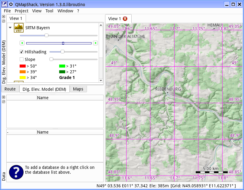
Add digital elevation model
If you want to know the elevation at the mouse cursor's position or you want to overlay some hillshading you need Digital Elevation Model (DEM) data.
Adding files for the Digital Elevation Model (DEM) is very similar to adding maps. This time you have to select File->Setup DEM Paths. As with the maps, you have to activate a DEM file before it is used by QMapShack. You do this by a right-click on the DEM file entry in the list and selecting Activate.
Type some string in the edit field at the top of the DEM tab to reduce the list of available DEM files to those matching the given string. A click on the cross at the right edge of the edit field clears the filter.
You can change the order of the active files via drag-n-drop. An elevation query will be done in the order of the files. First the top most file will be queried. On success the value will be used. If it fails the next file is used. And so on. Consequently you place your most accurate DEM files on top of the list.
To read more about DEM files see Basics about maps and DEM files and Control maps and DEM files
Prev (Create Offline Documentation) | Home | Manual | Index | Top | (Commandline parameters) Next