Bathymetry Estimation Validation - rosepearson/GeoFabrics GitHub Wiki
Validation was preformed against measured cross sections from two sites. The bathymetry estimate approach was used to produce river bed esitimates that were compared against the measured cross sections.
During the validation, sensitivity in the river bathymetry estimation process to a few instruction file parameters was observed. This has the largest impact on the alignment stage of the river geometry characterisation. This will be revisited in future to try reduce the algorithms sensitivity.
Validation sites
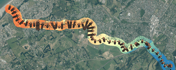
Waikanae
- 50+ cross sections
- Flow gauge station
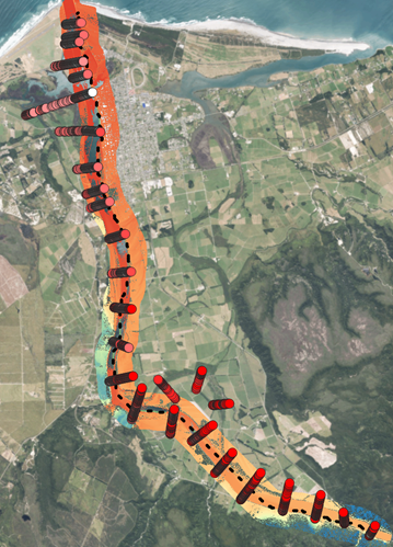
Westport
- 24 cross sections
- Flow gauge station
River characteristics
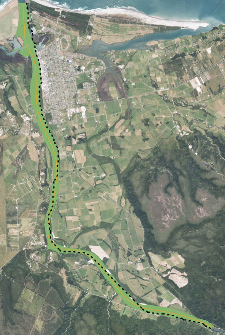
The river characteristics (width, slope and water surface elevation) were estimated every 10m along the channels along the sections covered by measured cross sections.
Waikanae

Westport
Comparisons
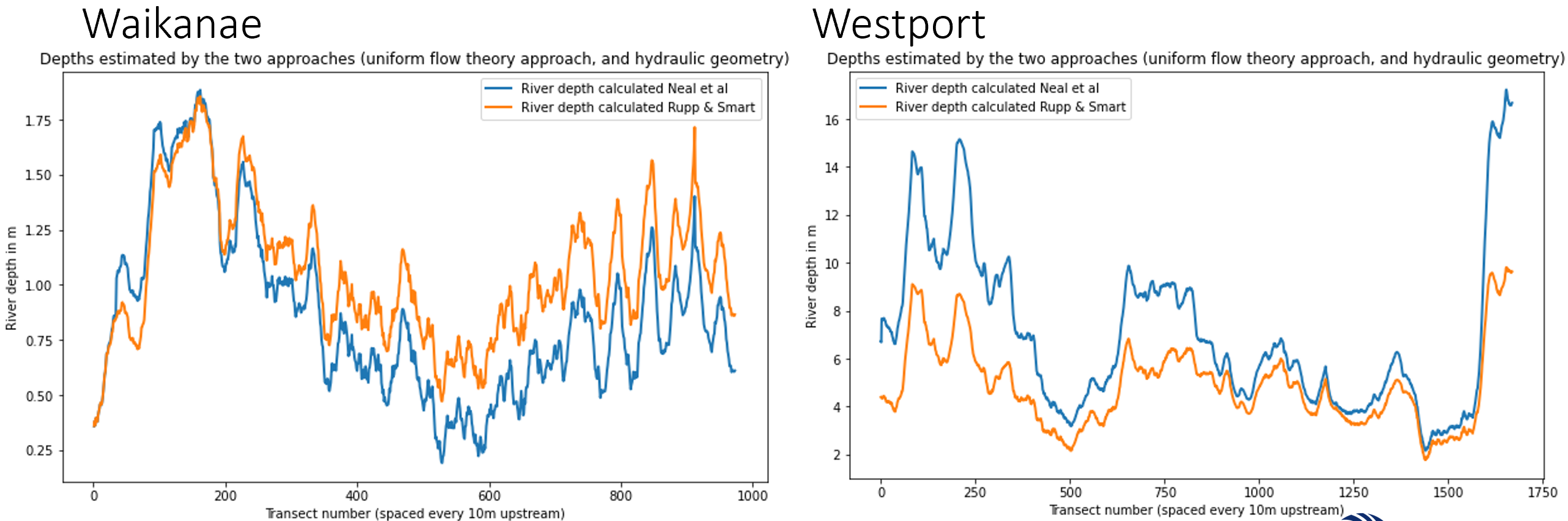
In this initial comparison, the deepest cross section points were compared with the 'full-bank width' depth estimates. This does not guarantee preservation of cross-sectional error. In future, the measured and observed cross sectional areas should be calculated and compared.
Measured bed elevation vs. 'bank-fill' estimates

Depth estimations from the 'bank-fill' estimates
Depth errors from the 'bank-fill' estimates
