Geolocation - firetools/blenderfds GitHub Wiki
:information_source: Work in progress
This wiki page explains how to setup the geolocation of your FDS case, place Objects at specific coordinates, and import terrains from qgis2fds.
Set the geolocation of the FDS domain origin
FDS MISC namelist has specific parameters to reference the geographic location of your case domain origin:
ORIGIN_LONandORIGIN_LATset the geographic coordinates (longitude and latitude) in decimal degrees, in a WGS84 (World Geodetic System 1984) 2D coordinate reference system (CRS) of the world surface;NORTH BEARINGspecifies the North bearing in decimal degrees of the y-axis of the FDS absolute reference system for the domain. In general it is 0 degrees, as the y-axis is aligned with the geographic North.
FDS does not use those numbers, these are only useful when interfacing with pre or post-processing tools as qgis2fds and BlenderFDS.
You can easily find the geographic coordinates of the point where you are now with any GPS device, as your mobile phone. Or you can find the coordinates of any point on an online map from free services as OpenStreetMap or Google Maps. For more info on WGS84 see Wikipedia
In BlenderFDS you can enter the case domain origin coordinates within the MISC namelist panel.
The panel allows you to also enter a toponym for your reference, the name of the place (eg. Gaithersburg, MD).
If you click on the world icon, the exact location you choose is opened and pinned
on an OpenStreetMap world map.
At the bottom of the panel the exact UTM WGS84 coordinates of the point are calculated and shown.
For more info on UTM see Wikipedia

Set the geolocation of a Blender Object
After correctly georeferencing the FDS domain origin, you can start putting FDS entities at specific geographic positions
The Geolocation sidebar panel allows you to position the Blender 3DCursor or any Object origin at specific coordinates:
click on the Set Geolocation button and type your coordinates.
These coordinates shall be always expressed in decimal degrees according to a WGS84 CRS. At the bottom of the panel, there is a button opening a website where you can transform any type of your coordinates to the required format.

Advanced geographic processing
If you want to do more than just putting Object instances on the right spot on Earth,
you probably need to take a look at the qgis2fds plugin
for QGIS, an open source and free geographical information system.
With qgis2fds you can import the digital elevation model (DEM) of your terrain, set its surface boundary conditions,
prepare the WIND profiles, and much more.
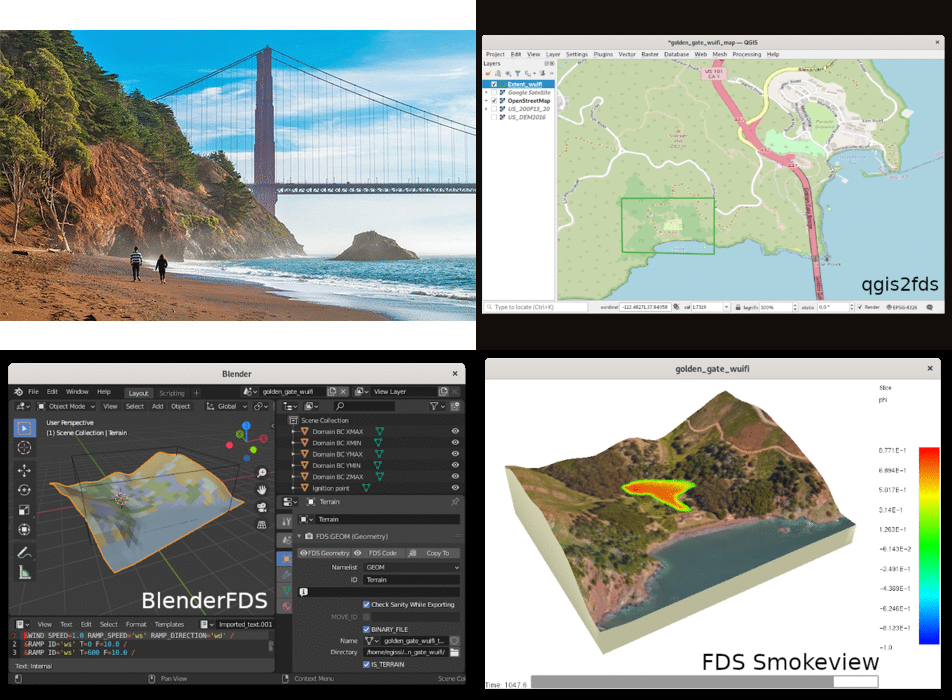
The qgis2fds plugin exports the geographic data into an FDS case, that can be then imported to BlenderFDS for further customization.
