Tower inspection with Gazebo simulator - cvar-upm/aerostack GitHub Wiki
This project executes a mission (written in Python) with Gazebo simulator while using self localization, mapping and path generation with Lidar, as well as the QR recognizer.
In order to execute this test, perform the following steps:
-
Install the Aerostack project called "tower_inspection_gazebo".
-
Change directory to this project:
$ cd $AEROSTACK_STACK/projects/tower_inspection_gazebo -
Install the lidar components:
$ ./lidar_instalation.sh -
Execute the script that launches Gazebo for this project:
$ ./launcher_gazebo.sh -
Execute the script that launches the Aerostack components for this project:
$ ./main_launcher.sh -
In order to run the mission you have to execute the following command:
$ rosservice call /drone111/python_based_mission_interpreter_process/start
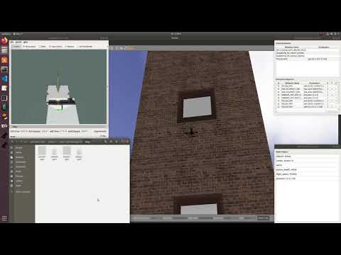
The following video illustrates how to launch the project:

Here there is a video that shows the correct execution of the mission, with a following view and the lidar map: