Screenshots - GeoscienceAustralia/earthsci GitHub Wiki
Below are some screenshots of the EarthSci platform, demonstrating some of its features.
The application after initial startup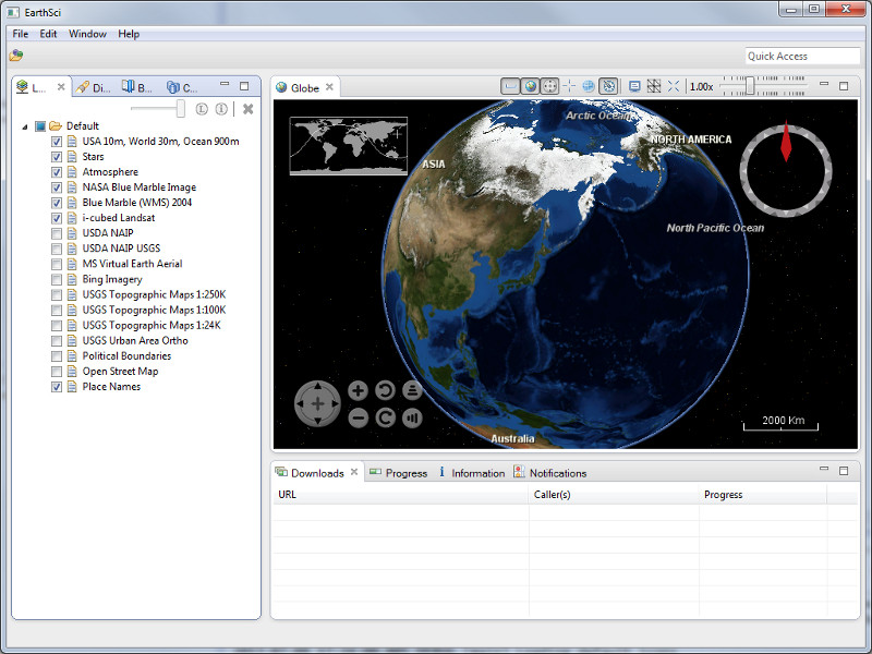
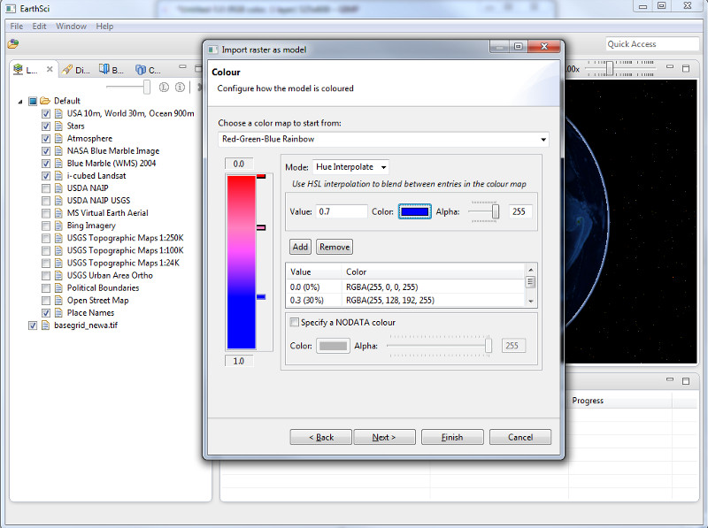
The colour map page of the import raster model wizard
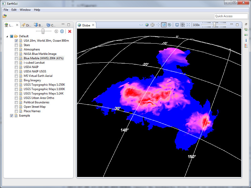
A 3D sub-surface model created from a raster file
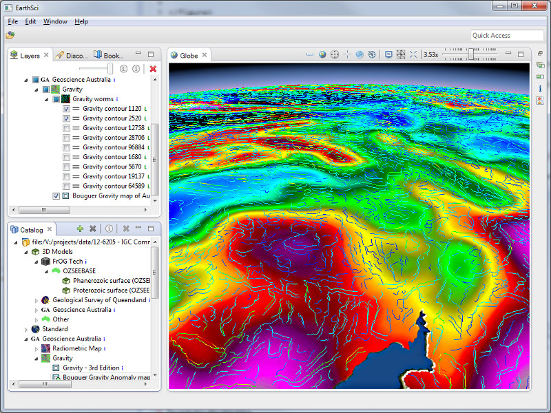
Layers added from a connected Catalog